Some of a location’s most important information is in places a person on the ground can never reach: the top of a cliff, the centre of a river, the full sweep of a valley, the roofline of a ruin. Drone scanning captures all of it. By flying a planned pattern of overlapping imagery, a drone records a location from heights and angles that complete a capture, feeding photoreal Gaussian splats, photogrammetry, and accurate reference for film and VFX. It is a core part of how we record real worlds.
This builds on our overview of location capture for film, and complements our broader drone services.
Why aerial capture matters for 3D reconstruction
Both splatting and photogrammetry get better with more complete coverage. Ground capture alone leaves gaps: tops of structures, terrain that falls away, the overall shape of a landscape. A drone fills those gaps, flying systematic grids and orbits so every surface is seen from multiple angles. The result is a fuller, more accurate 3D record with fewer holes to clean up later.
What drones can capture
Landscapes and terrain
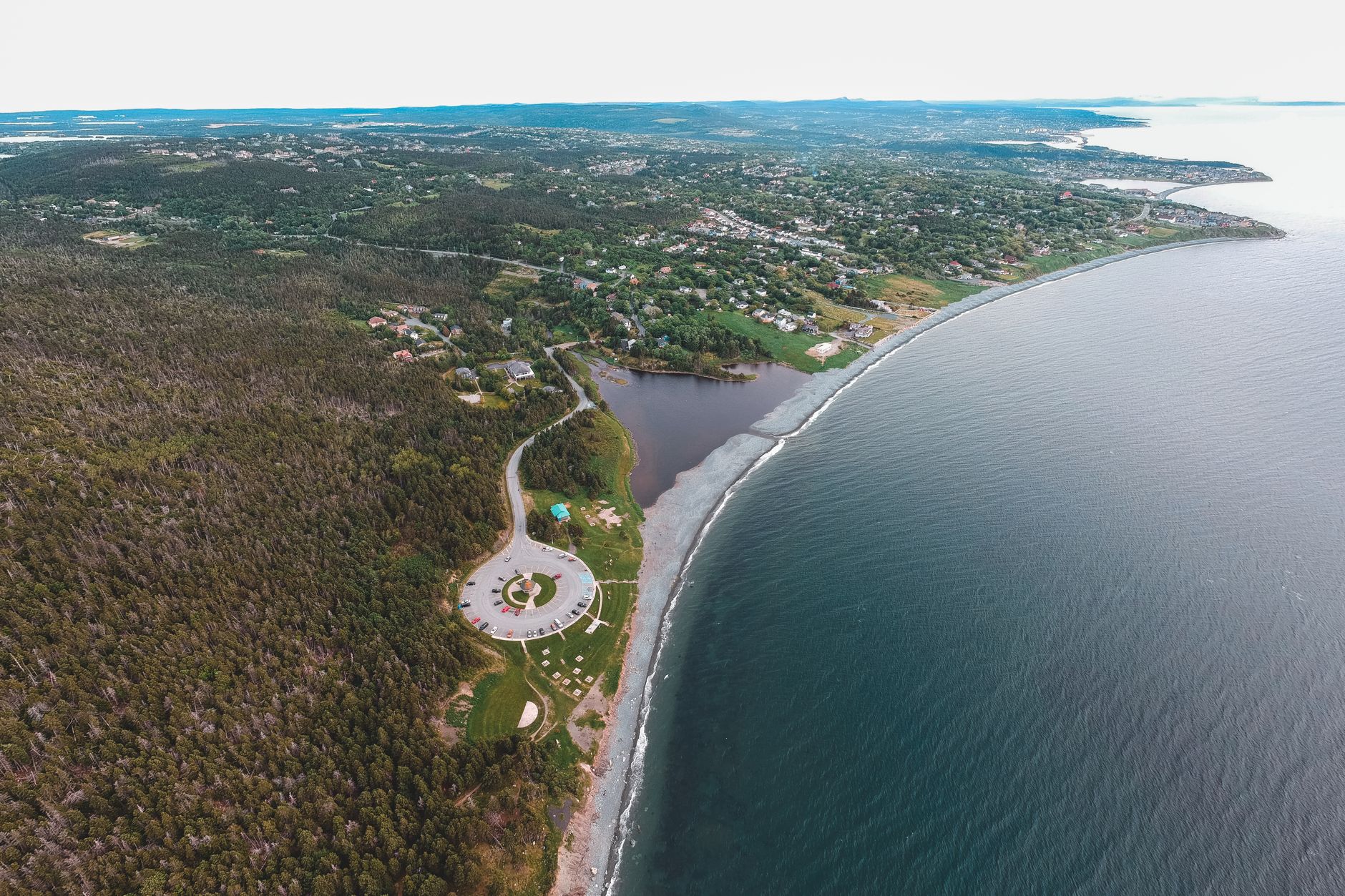
Valleys, coastlines, deserts, and forests captured at true scale, ideal for establishing environments and to-scale previs of big exterior sequences.
Structures and sites
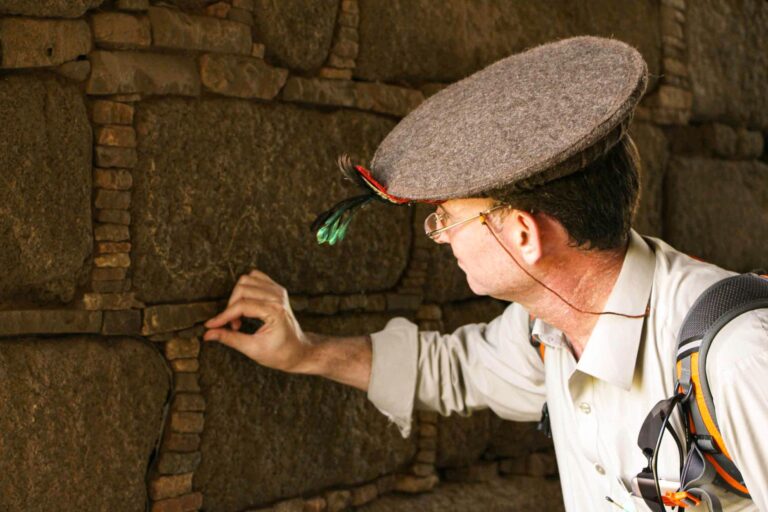
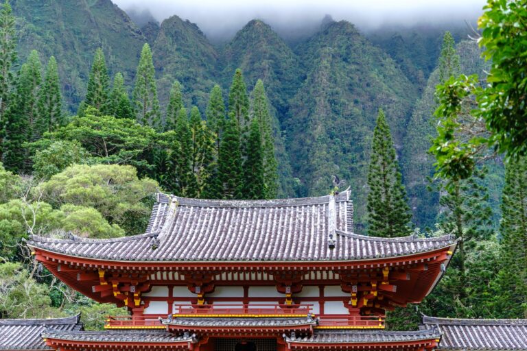
Buildings, ruins, and industrial sites recorded from roofline to foundation, the same approach we use for heritage photogrammetry, now extended into film capture.
Access-limited areas
Cliffs, water, hazardous ground, and anywhere it is unsafe or impossible to stand. The drone goes where the crew cannot, which is often exactly where the best angles are.
The ground gives you the scene. The air gives you the scale.
Planning a capture flight
A good scan is a planned scan: flight lines and orbits with heavy image overlap, consistent altitude and camera settings, and an eye on light and weather. We plan flights around the reconstruction we need, not just for pretty footage, so the data processes cleanly into a usable 3D world. In remote terrain this pairs with our fly-in and helicopter access to reach the launch points in the first place.
From flight to finished world
The captured imagery is processed into splats and meshes, combined with ground capture, and delivered as a complete environment for previs and VFX. Because it is all digital, we hand it off to productions anywhere.
Need a location scanned from the air for film or VFX? Let’s plan the capture.
Frequently Asked Questions
What is drone scanning for film?
Drone scanning flies a planned pattern of overlapping aerial imagery over a location to capture heights, angles, and terrain unreachable from the ground. That imagery feeds Gaussian splats, photogrammetry, and accurate 3D reference for film previs and VFX.
Why combine drone capture with ground capture?
3D reconstruction improves with complete coverage. Ground capture misses tops of structures and the overall shape of terrain, while drones fill those gaps with systematic grids and orbits, producing a fuller, more accurate model with fewer holes to fix.
Can drones capture dangerous or inaccessible areas?
Yes. Drones safely capture cliffs, water, hazardous ground, and places crew cannot stand, which are frequently where the most valuable angles are. In remote terrain this pairs with fly-in and helicopter access to reach launch points.