Photogrammetry is the bridge between a real ruin and a digital reconstruction. By taking many overlapping photographs of an object, building, or landscape and processing them with software, you produce an exact 3D model with real-world detail and proportions. For heritage work it is invaluable: it captures what survives, precisely, before time, weather, or tourism degrade it further, and it gives any reconstruction a foundation in reality rather than imagination.
This guide is part of our series on bringing ancient civilizations back to life.
How photogrammetry works, briefly
You photograph the subject from every angle with heavy overlap between frames. Software finds common points across the photos, solves where each photo was taken from, and reconstructs a dense 3D point cloud, then a textured mesh. The result is a measurable, photoreal digital twin of the real thing, accurate to millimetres when done carefully.
Two scales: artifacts and sites
Artifacts and objects
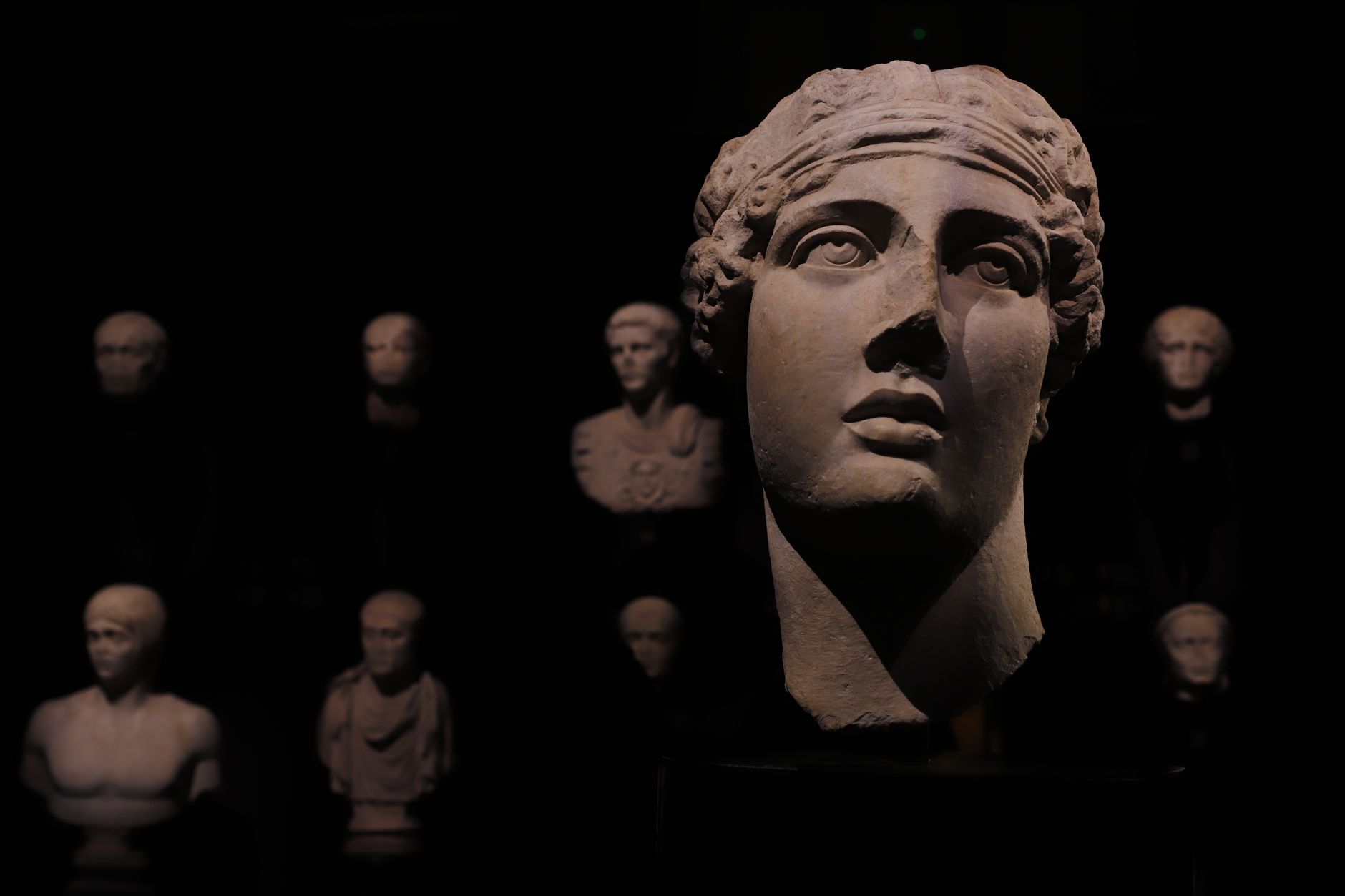
A statue, tablet, tool, or pottery piece can be captured on a turntable or by walking around it, producing a model detailed enough for study, display, or 3D printing. Museums use this to share fragile objects without handling them, and to put a collection online for the world.
Structures and landscapes
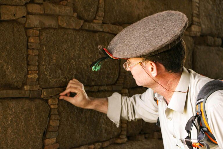
Standing ruins, walls, and whole sites are captured on foot and from the air with drones. We run drone and aerial capture as its own service, which pairs naturally with site photogrammetry. The output becomes the verified skeleton that a full Unreal Engine reconstruction is built around.
Why scan first, then rebuild?
The discipline that separates serious reconstruction from fantasy is starting with truth. A photogrammetry scan records exactly what is there: the real dimensions, the lean of a wall, the erosion of a step, the colour of the stone. We reconstruct the missing parts outward from that verified core, so the line between what survives and what is reasoned is always honest and documentable.
Capture reality first. Everything you add afterward should be defensible against it.
Preservation, not just visuals
Photogrammetry is also conservation. Sites are damaged by erosion, conflict, climate, and footfall. A high-quality scan is a permanent, measurable record, an insurance policy for cultural heritage, useful even if the physical site is never reconstructed visually at all.
What we need from you
For a remote engagement we can work from photo sets and drone footage you capture to our spec, process them into clean models, and rebuild from there, or coordinate capture if the site allows. Either way the heavy processing and reconstruction happens on our side and is delivered to you digitally.
Have a site or collection to capture and rebuild? Start a heritage capture project.
Frequently Asked Questions
What is photogrammetry in heritage work?
Photogrammetry turns many overlapping photographs of an artifact, building, or site into an exact, measurable 3D model with real-world detail. In heritage work it captures what survives precisely and gives reconstructions a foundation in reality rather than imagination.
Can you photogrammetry-scan a site remotely?
Yes. A client can capture photo sets and drone footage to a provided specification; the studio processes them into clean 3D models and rebuilds from there, delivering everything digitally. Capture can also be coordinated where site access allows.
Is a 3D scan useful even without a full reconstruction?
Very. A high-quality scan is a permanent, measurable record of a site or object, which is valuable for conservation and study on its own, independent of whether a visual reconstruction is ever produced.