Drone Mapping for Acreages and Farms: What a Survey Flight Delivers
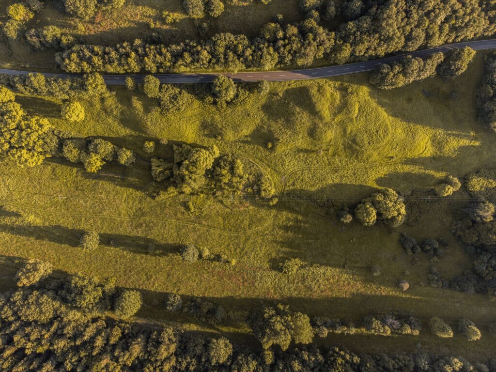
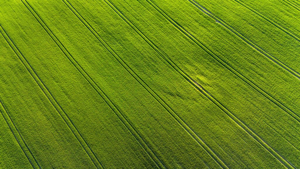
Drone mapping for acreages and farms in Saskatchewan: orthomosaic maps, drainage and crop views, and what a survey flight delivers.
Sinfull Studios Category
Drone operation, aerial photography, roof inspections, and 3D scanning.
Drone mapping for acreages and farms in Saskatchewan: orthomosaic maps, drainage and crop views, and what a survey flight delivers.
Do drone photos help sell a home in winter? What aerial images can show, when to wait, and how to make a listing stand...
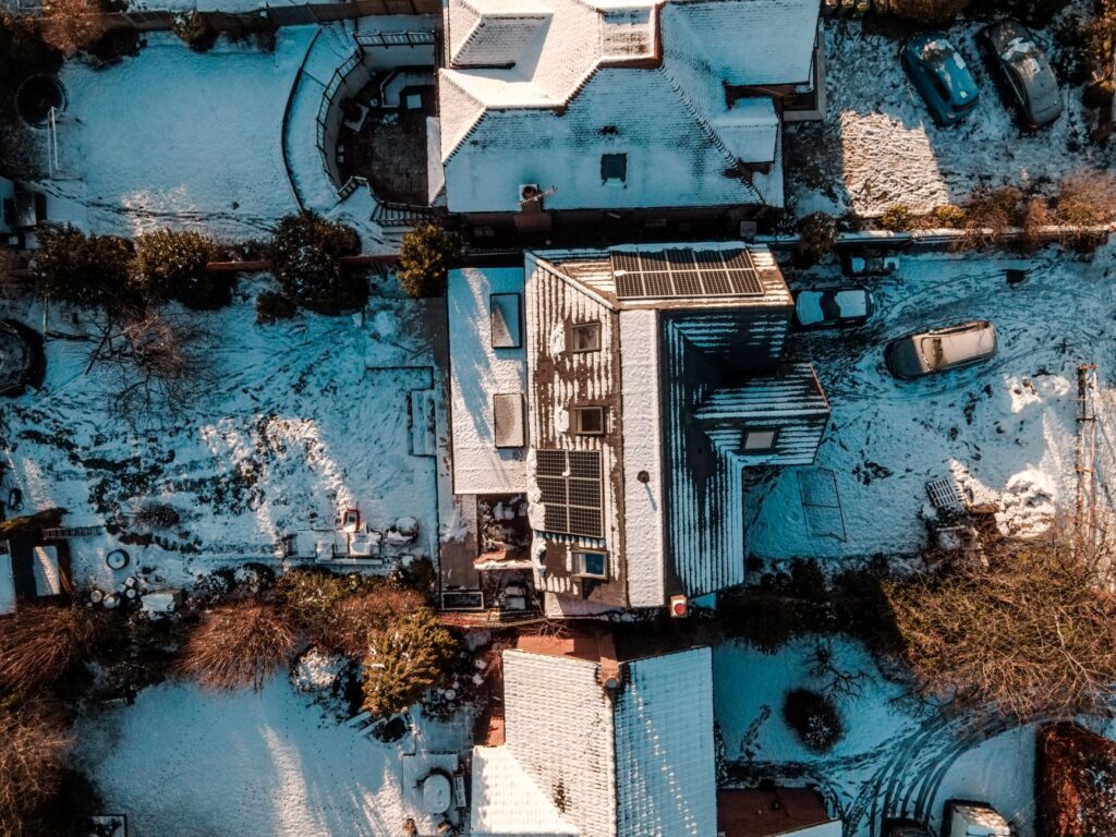
Drone roof inspections in a Saskatchewan winter: what a drone can show about ice dams, snow load and heat loss, and its limits.
A practical buyer's guide for businesses in Regina and southern Saskatchewan on how to vet a commercial drone operator -- Transport Canada RPAS certification,...
Sinfull Studios provides Transport Canada RPAS-certified aerial photography and video for Regina realtors -- stills, cinematic clips, and rural overviews that show buyers what...
Sinfull Studios provides Transport Canada RPAS-certified drone inspections for insurance claims in Regina and southern Saskatchewan -- delivering high-resolution roof documentation, storm damage evidence,...
Sinfull Studios delivers Transport Canada-certified thermal drone inspections in Regina and southern Saskatchewan -- flat-roof moisture surveys, solar panel hotspot detection, and building envelope...
Sinfull Studios delivers drone mapping and surveying outputs -- orthomosaics, point clouds, DSMs, contour lines, and volumetric reports -- for construction, aggregate, and land...
Sinfull Studios delivers construction drone services in Regina -- progress monitoring, site documentation, stockpile volumetrics, and marketing flyovers -- for GCs and developers across...
Sinfull Studios provides Transport Canada RPAS-certified agriculture drone services across Saskatchewan -- crop health mapping, NDVI analysis, stand counts, drainage surveys, and field documentation...