The locations that make audiences gasp are usually the ones that are hardest to reach. A knife-edge ridgeline, a sea cave, a remote glacier, a canyon with no road for a hundred kilometres. Capturing those places for film takes more than a camera and a laptop; it takes the ability to actually get there, safely, with the gear, and get the data out. That capability, expedition capture, is what sets our location work apart. We fly in, we rope in, and we come back with the world.
This is the access half of our location-capture and scouting capability.
Why access is the real bottleneck
Almost any studio can process a capture once it has the imagery. Far fewer can safely obtain that imagery from a cliff face or a remote summit. The hard, valuable part is the expedition: the logistics, the safety, the physical skill to reach a place and work there productively. That is the bottleneck we remove for productions, which is why the best locations are within reach instead of off the table.
How we reach the unreachable
Fly-in work
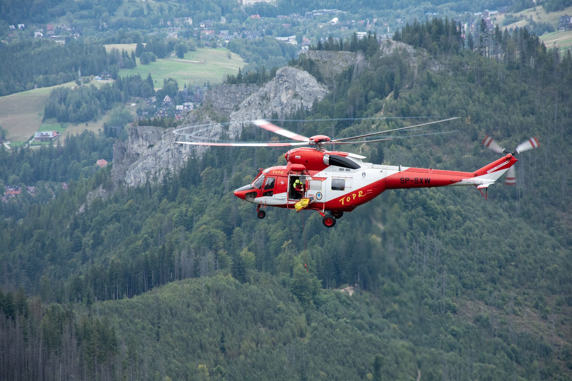
For sites with no road access, we plan and execute fly-in operations, bringing capture gear into backcountry and remote terrain by air and working efficiently in the window we have.
Helicopter access and rope access
When a location can only be reached from above, we belay in from a helicopter and use rope-access technique to capture cliff faces, towers, and exposed terrain safely. This is specialized, safety-critical work, and it opens up shots and locations that are otherwise impossible to document.
Drone-extended reach
Where it is unsafe or needless to put a person, the drone extends our reach further still, capturing the angles that complete the scene without added risk.
Processing a capture is a desk job. Getting the capture is an expedition. We do both.
Safety and responsibility first
Extreme-access capture is only worth doing if it is done responsibly: proper planning, qualified technique, respect for the environment and for local rules and lands. We treat safety and stewardship as non-negotiable, because the goal is to bring back the location and everyone who went to get it.
The payoff: locations no one else can offer
The result is simple and powerful: your production gets photoreal, to-scale captures of places your competitors cannot reach, ready for previs and VFX and delivered wherever you are. When the story needs the edge of the planet, we can actually bring it back.
Got a location at the edge of the map? We’ll get there and capture it.
Frequently Asked Questions
What is expedition location capture?
It is reaching remote or extreme locations, by fly-in, helicopter, and rope access, to capture them for film as photoreal, to-scale 3D data. The specialized part is safely getting to and working in places most crews cannot, then delivering the captured world to the production.
Can you capture cliffs, summits, and other extreme locations?
Yes. Using helicopter and rope-access technique, we belay into cliff faces and exposed terrain and execute fly-in operations for roadless sites, with drones extending reach where it’s unsafe to place a person. All of it is planned around safety and environmental responsibility.
Why does location access matter for capture?
Processing imagery into a 3D world is comparatively routine; safely obtaining that imagery from hard-to-reach places is the real bottleneck. Studios that can reach extreme locations can offer captures, and therefore shots, that competitors simply cannot.