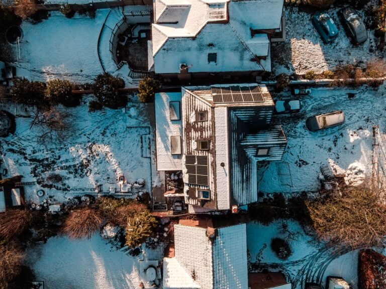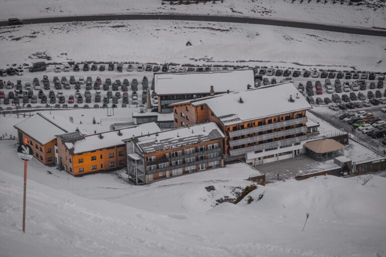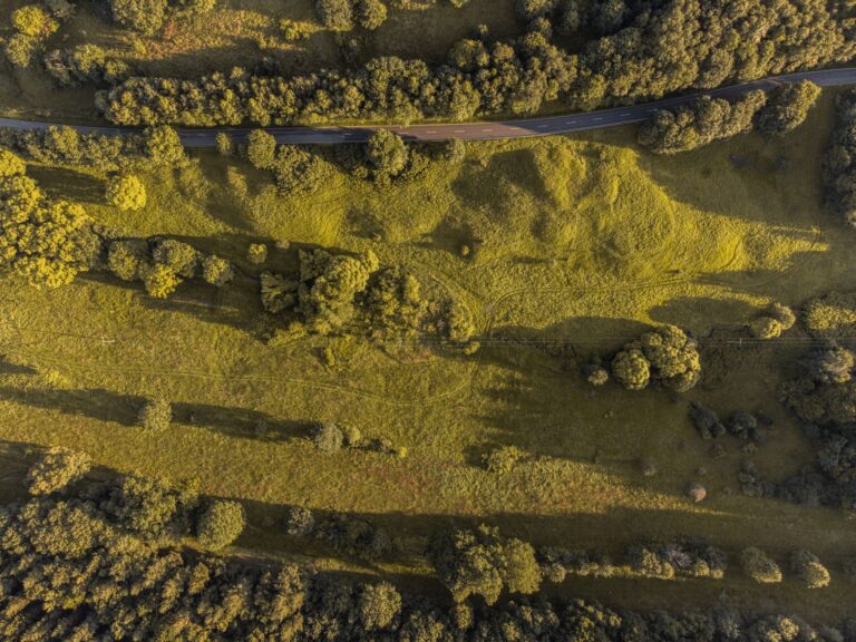
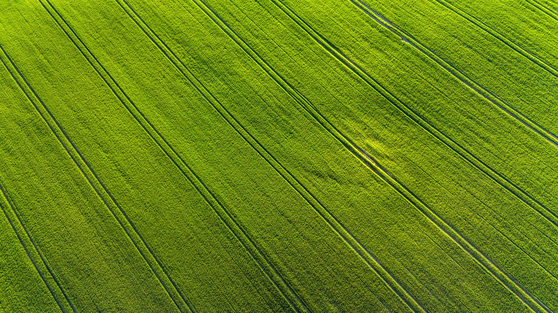
Large properties are hard to see from the ground. A mapping flight stitches hundreds of overlapping images into a single, accurate picture of the whole property.
What you actually receive
- An orthomosaic: a geo-referenced aerial map of the property.
- A surface model showing elevation and slope.
- Measurements of area, distance and volume.
- High-resolution images for records and planning.
Uses on an acreage or farm
Plan drainage and see where water collects, measure fields and building footprints, document shelterbelts and fence lines, and monitor change from season to season. Repeated flights provide a visual record of progress.
Crop and vegetation views
Special cameras can highlight plant health differences that are hard to see on foot. These views point you to areas that need attention but do not replace field scouting and agronomic advice.
Planning a mapping flight
Clear weather, light winds and good sun angle give the best data. Tell us the boundaries, any hazards such as power lines, and what you plan to measure so we capture the right resolution.
Accuracy and limits
Standard drone mapping is accurate enough for planning and documentation. Legal surveys still require a licensed land surveyor, so use drone data to support planning, not replace formal boundary work.
Ready to talk it through? Get a free quote, use the contact page, or call Sinfull Studios at 306-807-9848 (907 Queen Street, Regina, by appointment).
Related reading from Sinfull Studios
- Commercial Drone 3D Scanning in Regina: What It Actually Costs and What You Get
- Drone Roof Inspection vs. Traditional Inspection: What Regina Homeowners Need to Know
- Hiring a Drone Operator in Regina: Certification, Insurance, and What to Ask
- Drone and Aerial Imaging in Regina
Based in Regina, Saskatchewan. Explore Drone and Aerial Imaging or request a quote from Sinfull Studios.
Frequently Asked Questions
How big an area can a drone map in a day?
Depending on resolution and conditions, a drone can map many acres in a single day, and larger properties may need multiple flights.
Is drone mapping a legal survey?
No. It is excellent for planning and documentation, but legal boundary surveys require a licensed land surveyor.
When is the best time to map?
Clear, calm days with good sun. For crop views, timing during the growing season matters, and for terrain mapping, snow-free ground is best.