Sinfull Studios provides Transport Canada RPAS-certified agriculture drone services across Regina and southern Saskatchewan — crop health mapping, stand counts, drainage surveys, and field documentation that give farm operators and agronomists ground-truth data faster than boots-on-ground scouting alone. These services target the operational decisions that matter during a growing season: where is the crop stressed, where did emergence fail, and where does water sit after a rain event.
What Can an Agriculture Drone Actually Do for a Saskatchewan Farm?
A drone does not replace your agronomist, but it gives that agronomist — or you — a consistent aerial view of every acre in a fraction of the time a field walk takes. For large quarter-sections on the prairies, walking stress areas or checking emergence uniformity across the entire field is impractical mid-season. A drone flight can cover hundreds of acres in a morning and return georeferenced imagery the same day, flagging zones that need attention before a problem compounds.
Crop Scouting and Early Stress Detection
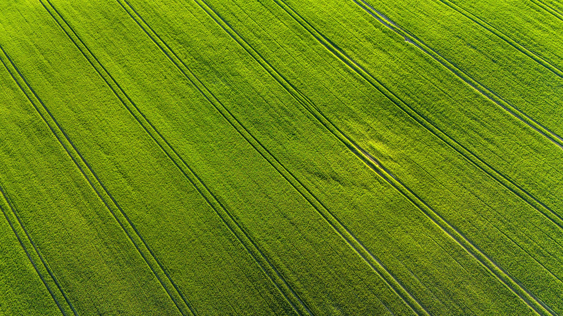
High-resolution RGB (colour) imagery lets you identify visible stress, weed pressure, wildlife damage, wind or hail injury, and uneven crop development across a field. Zones that look uniform from a field road often show meaningful variation from 30 metres up. That spatial context lets you direct scouting resources — or an agronomist’s time — to the areas where intervention is most likely to be warranted, rather than walking a grid across the whole field.
NDVI and Multispectral Health Mapping
Multispectral sensors capture bands beyond visible light — near-infrared in particular — and produce NDVI (Normalized Difference Vegetation Index) maps that quantify crop vigour across the field. NDVI does not diagnose a problem on its own, but it produces a ranked spatial picture: this zone is underperforming relative to the field average, and by roughly how much. For agronomists advising on variable-rate inputs or identifying fertility response zones, a georeferenced NDVI map tied to your soil sampling or yield history adds a layer of in-season evidence that ground observation alone cannot efficiently provide across a full operation.
Stand Counts and Emergence Assessment
Early-season stand counts from drone imagery are one of the most practical applications for prairie grain and oilseed producers. Low-altitude flights shortly after emergence can produce plant counts per square metre across a field, identifying areas where seed placement, soil crusting, moisture, or pest pressure resulted in poor establishment. That data informs replant decisions, insurance documentation, or simply helps calibrate yield expectations before mid-season inputs are committed.
Drainage Mapping and Topographic Surveys
Southern Saskatchewan’s flat to gently rolling topography means drainage patterns have an outsized effect on field productivity. Drone photogrammetry produces digital elevation models (DEMs) and orthomosaics that make drainage patterns, low spots, and water accumulation zones clearly visible. These deliverables are useful for planning tile drainage, surface drainage improvements, or simply understanding why certain zones consistently underperform in wet years. The same data supports conversations with drainage contractors, irrigation planners, and agrologists.
What Deliverables Do You Actually Receive?
Depending on the service, deliverables from a Sinfull Studios agriculture drone flight can include:
- Georeferenced orthomosaics (high-resolution stitched field maps) in formats compatible with farm management software
- NDVI or other vegetation index maps exportable as raster files or interpreted reports
- Digital elevation models for drainage and topographic analysis
- Raw or annotated imagery for stand count assessment
- Timestamped documentation suitable for insurance or program records
Turnaround on processed outputs is typically within one to two business days of the flight, depending on field size and the processing pipeline required.
A Straight Answer on Drone Spraying
Drone spraying — applying pesticides, fungicides, or other products by unmanned aircraft — requires a separate regulatory pathway in Canada that goes beyond standard RPAS certification. Transport Canada and Health Canada both have jurisdiction, and individual products must be registered for aerial application. Sinfull Studios currently focuses on data-collection services: imagery, mapping, and inspection. If you are evaluating drone spraying for your operation, that is a valid question to research, but be clear-eyed about the certification and product approval requirements before engaging any provider.
Who Uses These Services in Saskatchewan?
The most common clients for agriculture drone work in Saskatchewan are grain and oilseed producers managing large acreages who want spatial data to support input decisions, agronomists and crop consultants building evidence for their recommendations, and farm operations documenting crop conditions for crop insurance claims or lease agreements. The service scales — a single quarter-section flight or a multi-section season-long monitoring program are both reasonable scopes depending on the operation.
How to Get Started
Reach out with the field location, approximate acreage, and what decision you are trying to support — stand assessment, mid-season health mapping, drainage planning, or end-of-season documentation. That context determines the right sensor, flight parameters, and deliverable format. Sinfull Studios operates under Transport Canada RPAS certification and carries the required liability coverage. Reach Robert at 306-807-9848 or through the contact form to discuss your season’s needs before the window opens.
Explore Drone and Aerial Imaging in Regina at Sinfull Studios for more.
Related reading from Sinfull Studios
- Construction Drone Services in Regina: Progress Monitoring and Site Documentation
- Drone Mapping and Surveying in Saskatchewan: Orthomosaics, Volumetrics, and Site Plans
- Commercial Drone Services in Regina
- Drone and Aerial Imaging in Regina
Transport Canada certified commercial drone work in Regina and southern Saskatchewan. Explore Drone and Aerial Imaging or request a quote.
Frequently Asked Questions
What data does an agriculture drone flight in Saskatchewan actually produce?
A typical agriculture drone flight from Sinfull Studios produces georeferenced orthomosaics (high-resolution aerial field maps), NDVI or multispectral vegetation index maps showing crop vigour across the field, and optionally digital elevation models for drainage analysis. Deliverables are provided in formats compatible with common farm management and GIS software, with processed outputs typically ready within one to two business days of the flight.
Is drone spraying included in agriculture drone services in Saskatchewan?
No — drone spraying requires a separate regulatory pathway in Canada beyond standard Transport Canada RPAS certification, including Health Canada product approvals for aerial application. Sinfull Studios currently offers data-collection services: crop health mapping, NDVI analysis, stand counts, drainage surveys, and field documentation. Producers evaluating drone spraying should research the certification and product registration requirements independently before engaging any provider.
How much does an agriculture drone flight cost in Saskatchewan?
Pricing for agriculture drone services varies based on field size, sensor type (RGB versus multispectral), number of flights in a season, and the deliverables required. A single field mapping flight for a quarter-section is a different scope than a multi-section NDVI monitoring program across a full growing season. Contact Sinfull Studios with your acreage and the decision you are trying to support, and you will receive a straightforward quote based on the actual scope.