What Drone 3D Scanning Actually Produces
When people ask about drone 3D scanning, they usually picture something that looks impressive but are not sure what they would do with it. Fair question. Here is what you actually get out of a scan job.
A standard photogrammetry workflow — flying a DJI Matrice or Mavic 3 Enterprise over a site in a systematic grid pattern — produces raw overlapping imagery that gets processed into several deliverable types depending on what you need.
The Four Main Deliverables
- Point cloud: A dense collection of georeferenced XYZ coordinates. This is the raw spatial data that everything else gets built from. You can open it in software like RealityCapture or import it into CAD. It gives you accurate measurements of any surface — rooflines, stockpiles, building facades.
- Mesh model: A 3D surface built from the point cloud with texture mapped onto it. This is what looks like a photorealistic 3D object you can rotate on screen. Useful for client presentations, insurance documentation, and clash detection in renovation planning.
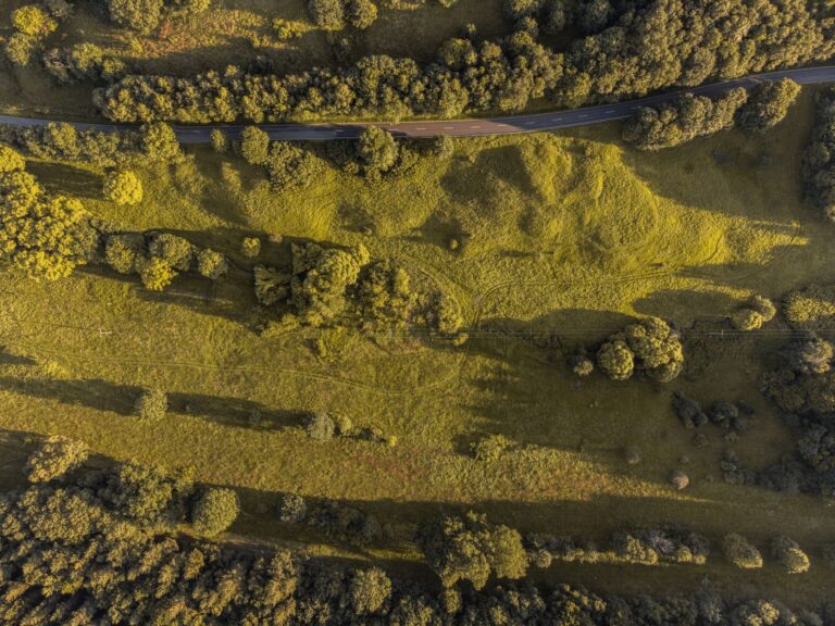
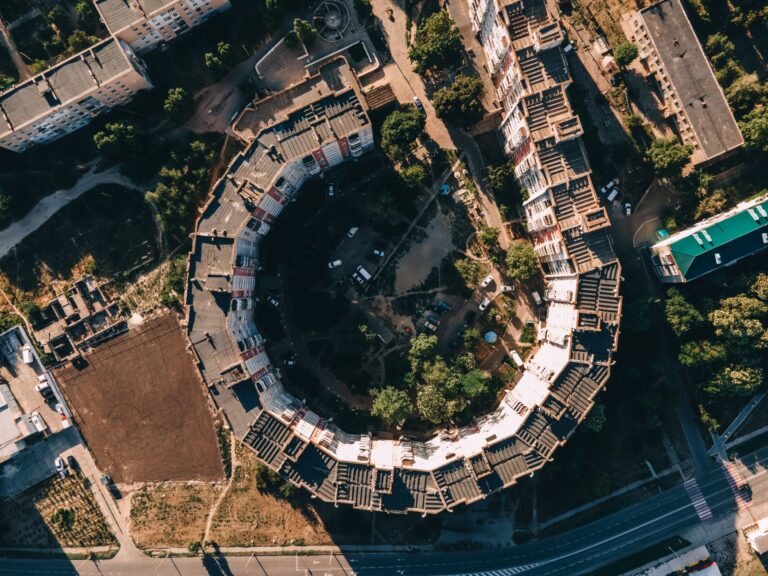
- Orthomosaic: A flat, georeferenced top-down image stitched from hundreds of drone photos. Unlike a standard aerial photo, every pixel in an orthomosaic is to scale. You can measure distances and areas directly in the image. Property managers use these to track site changes over time.
- Volumetric measurements: If you are managing aggregate stockpiles, earthworks, or grading, photogrammetry software like Pix4D can calculate exact volumes from the point cloud. This replaces manual survey work and is repeatable — fly the same site monthly and track material movement.
What Software Is Used
The two industry-standard processing platforms are RealityCapture and Pix4D. RealityCapture is fast and produces high-density mesh models well-suited to architectural and engineering work. Pix4D has stronger GIS integration and is widely used in surveying, agriculture, and infrastructure. Both accept input from DJI platforms and export to standard formats — OBJ, LAS, GeoTIFF, and others — that engineering firms and architects can open without any special setup on their end.
When 3D Scanning Is Worth It
These are the scenarios where the investment makes clear sense:
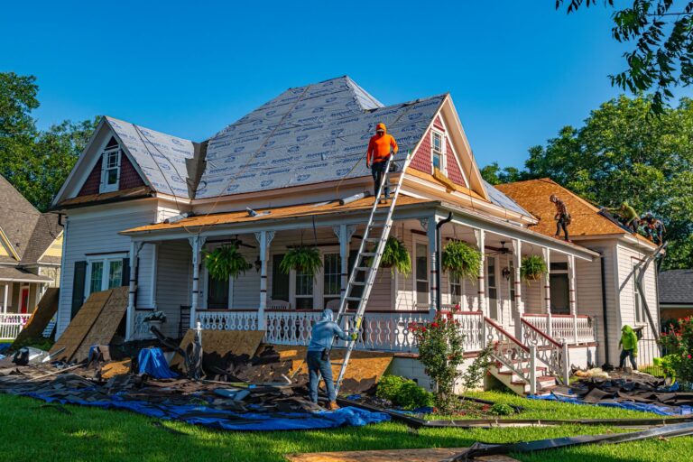
- Roof condition documentation for insurance or litigation: A mesh model and annotated orthomosaic gives adjusters and lawyers something they can actually reference. Saves arguments.
- Pre-construction site surveys: Architects and contractors in Regina use orthomosaics to verify site dimensions and spot drainage or grade issues before breaking ground.
- Commercial real estate listings for large or complex properties: A 3D model of an industrial building or multi-unit complex is a legitimate marketing asset, not just a novelty.
- Aggregate and material tracking: Quarry operators and construction managers who move material regularly can justify the cost quickly against manual survey time.
- Heritage documentation: Permanent spatial record of a structure before renovation or demolition.
When It Is Overkill
If you need a roof inspection report with photos and a condition assessment, standard drone inspection photography is faster and costs less. You do not need a point cloud to document hail damage on a bungalow. 3D scanning adds value when you need measurements, models, or data that gets used downstream — in CAD, in GIS, in a report that references specific coordinates. If the deliverable is just a set of clear photos and notes, skip the full scan workflow.
Realistic Pricing in Regina
Pricing depends on site size, required accuracy, deliverable type, and whether ground control points are needed for survey-grade georeferencing. As a practical range: a single-building scan with basic orthomosaic and mesh output starts around $400 to $600. A multi-acre commercial site with volumetric analysis and georeferenced outputs runs $1,200 to $2,500 or more depending on complexity. If you need outputs that meet AOLS survey standards, you are looking at a licensed surveyor in the loop, which changes the scope and cost significantly.
For most property managers and contractors in Regina, the right question is not whether 3D scanning is impressive — it is whether the data it produces saves you time or money on a specific problem. If the answer is yes, it is worth the call. See our 3D scanning services here or get in touch to discuss your site.
Related reading from Sinfull Studios
- Drone Cinematography in Regina: Aerial Filming That Serves the Story
- Drone Coverage for Regina Events: What Actually Works and What Is Not Worth the Cost
- Drone Photography for Real Estate in Regina: What Agents Should Know and What to Request
- Drone and Aerial Imaging in Regina
Based in Regina, Saskatchewan. Explore Drone and Aerial Imaging or request a quote from Sinfull Studios.