Photogrammetry turns overlapping UAV imagery into measurable geometry. Sinfull Studios runs Transport Canada certified drone flights and delivers calibrated 3D models, point clouds, and orthomosaic maps that engineers, surveyors, and site managers can actually use — not just look at. Accurate data, no ground crew required, available across Saskatchewan.
Site Surveys
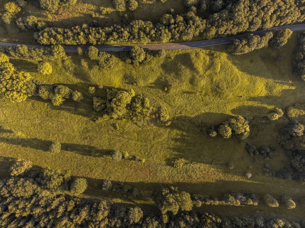
UAV-based topographic surveys that cover large areas in a fraction of the time traditional ground methods require. Outputs include georeferenced orthomosaics and elevation models ready for CAD or GIS workflows.
Volumetric Measurement
Stockpile volumes, cut-and-fill calculations, and earthwork quantities measured from the air with consistent, repeatable accuracy. Eliminates the need for manual wheel measurements or estimation on Saskatchewan aggregate and construction sites.
3D Model Generation
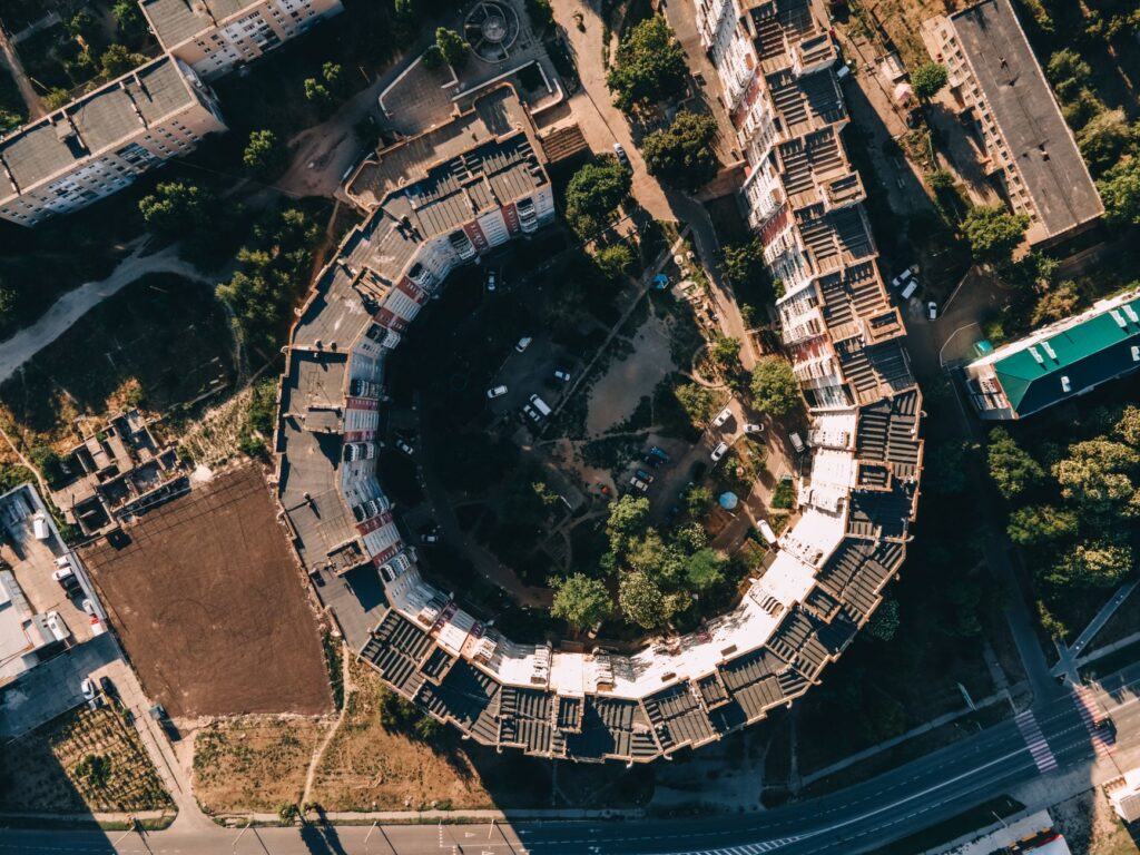
Dense point clouds and textured mesh models of structures, terrain, or infrastructure. Useful for as-built documentation, heritage recording, facility planning, and anywhere a spatial reference model saves time downstream.
Progress Documentation
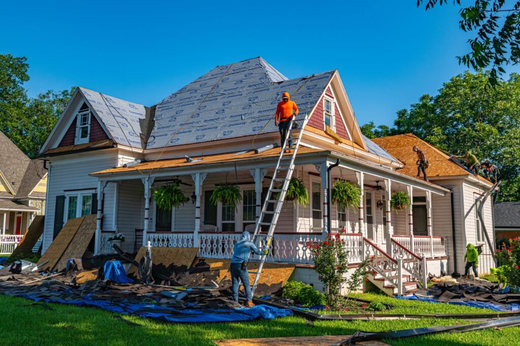
Scheduled UAV flights that capture the same site at regular intervals — weekly, biweekly, or at milestone stages. Gives project owners a consistent visual and spatial record of construction progress without boots on the ground every time.
Get a Quote
Operating out of Regina SK and available across the province. Send us the site location and what you need measured — we’ll come back with a flight plan and a quote.
Book a Session
Select a date and time below. You will receive a confirmation email at [email protected].