Sinfull Studios operates drone cinematography in Regina and across Saskatchewan as part of its film and video production work — aerial footage planned and executed as a narrative tool, not a default add-on. Every drone deployment is flown under a Transport Canada Advanced RPAS Certificate, integrated into the broader edit, and chosen only when the shot actually serves the story being told.
What makes drone footage a film tool rather than a gimmick?
The difference is intention. A drone is a gimmick when it flies because the budget allows it or because someone wants to show off. It is a film tool when the aerial perspective does something the ground-level camera cannot — establishes scale, reveals geography, tracks movement across terrain, or punctuates an emotional beat with a shift in altitude. On the prairies, aerial perspective earns its place constantly: Saskatchewan’s flat open landscape and big sky read completely differently from 200 feet than they do at eye level. That context is real information. When it is not real information, we keep the drone on the ground.
What aerial shot types actually show up in film and commercial work?
The four shot types that carry real narrative weight in production work are:
- The reveal — camera rises or pushes back to expose scale and context. Used for location introductions, act opens, and moments where the audience needs to understand where they are.
- The follow — drone tracks a subject in motion: a vehicle, a person on foot, a piece of equipment working. Keeps energy in the frame and gives the editor something to cut against ground-level coverage.
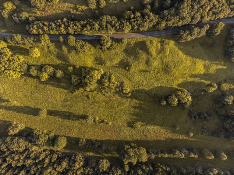
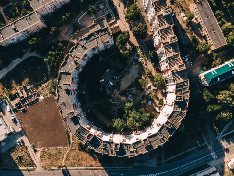
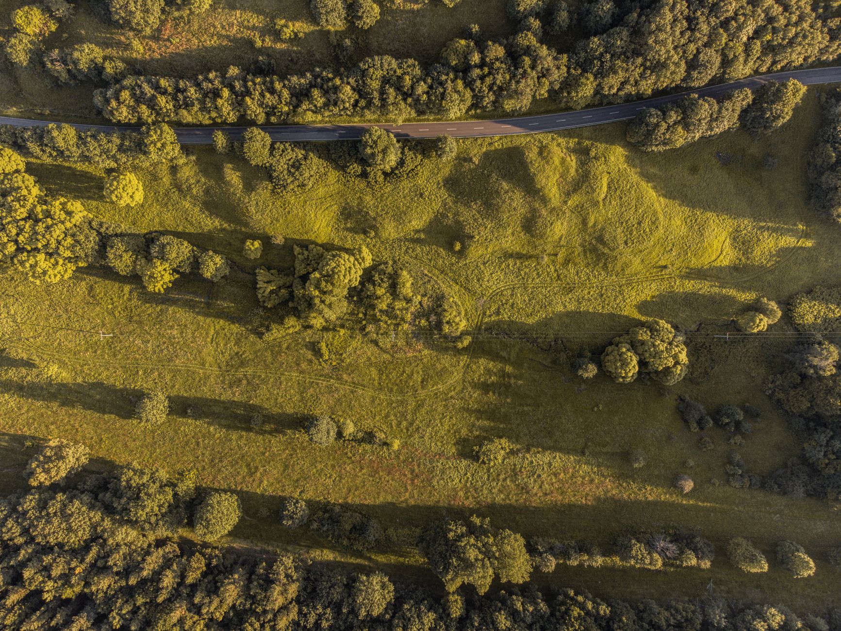
- The top-down (nadir) — straight down. Abstract, graphic, often disorienting in the best way. Useful for transitions, title cards, and showing spatial relationships that only read from directly above.
- The parallax (orbit or arc) — camera moves around a fixed subject while the background shifts behind it. Gives a sense of three-dimensional space and works well for both environmental storytelling and product or industrial showcases.
Each one requires pre-planned flight paths, not improvised hovering. The shot is designed before the drone lifts off.
When does aerial footage actually earn its place in an edit?
Aerial earns its place when the scale of what you are filming is genuinely large, when geography is part of the story, when you need to establish a location fast, or when movement on the ground needs to be matched by movement from above. It earns its place in commercials for agriculture, construction, events, and infrastructure because those subjects have physical scale that the ground camera undersells. It earns its place in short films and narrative work when the story requires the audience to feel the environment rather than just see a character standing in it. It does not earn its place because a client saw drone shots in a competitor’s video and wants one too. That conversation happens early in pre-production.
What does Transport Canada RPAS compliance mean for a production in Saskatchewan?
Transport Canada regulates all commercial drone operations in Canada under the Remotely Piloted Aircraft Systems (RPAS) rules. For film and commercial work — anything that goes beyond basic open rural airspace — the pilot needs an Advanced RPAS Certificate and the drone must be registered and compliant. Operations near people, near built-up areas like downtown Regina or White City commercial zones, or within controlled airspace around Regina International Airport require additional authorization. Flying without that paperwork is not a shortcut; it is a liability that can invalidate insurance, expose the production to fines, and get footage pulled from use. All drone work at Sinfull Studios runs through proper certification and airspace authorization before the day of the shoot.
How does drone footage get integrated into a real edit?
Aerial footage does not edit itself into a production. The frames are wider, the motion is different from handheld or gimbal work, the color profile off the drone sensor needs to be matched to the ground-level camera, and the pace of aerial cuts is usually slower than the pace of ground cuts. In post, that means color grading the aerial material to match the rest of the timeline, using motion blur and speed adjustments to blend transitions, and being disciplined about cut points. One aerial shot used well is more effective than five aerial shots used loosely. The edit drives every decision about which frames survive the cut.
What kinds of productions in Regina use aerial cinematography?
In the Regina and surrounding area — White City, Emerald Park, Pilot Butte, and out into the broader prairie landscape — aerial work shows up regularly in agricultural brand films, construction and development projects, event coverage (festivals, trade shows, sports), industrial and municipal documentation, and narrative short films that lean into Saskatchewan’s landscape as a character in the story. Commercials that need to communicate scale or geography fast are the most consistent users. Corporate video work that needs to establish a facility or operation uses it selectively. The prairie environment is genuinely cinematic from the air in a way that not every market can claim.
How does drone work fit into Sinfull Studios’ broader film production capability?
Drone cinematography at Sinfull Studios is not a standalone service bolted onto the side of a camera rental operation. It is part of a full film and video production workflow that includes pre-production planning, ground-level cinematography, VFX, and post-production editing. That means aerial coverage is planned in relation to the rest of the shoot — matching lenses and color profiles, coordinating flight windows with ground units, and designing shots that cut cleanly against the non-aerial material. A client hiring Sinfull Studios for a commercial or a short film gets drone work that was designed for the edit, not footage that was captured separately and handed over as raw files to figure out later.
Explore Drone and Aerial Imaging at Sinfull Studios for more.
Related reading from Sinfull Studios
- Drone Photography for Real Estate in Regina: What Agents Should Know and What to Request
- Drone Coverage for Regina Events: What Actually Works and What Is Not Worth the Cost
- Commercial Drone Photography for Events in Regina: What to Expect and How to Book
- Drone and Aerial Imaging in Regina
Based in Regina, Saskatchewan. Explore Drone and Aerial Imaging or request a quote from Sinfull Studios.
Frequently Asked Questions
Does Sinfull Studios have a Transport Canada Advanced RPAS Certificate for commercial drone filming in Regina?
Yes. All commercial drone work at Sinfull Studios is flown under a Transport Canada Advanced RPAS Certificate. This covers operations in controlled airspace, near built-up areas, and in proximity to people — requirements that apply to film and commercial production work around Regina, Saskatchewan.
What aerial shot types are most useful in film and video production?
The four most commonly used aerial shot types in film and commercial production are the reveal (camera rises to expose scale and location), the follow (drone tracks a moving subject), the top-down or nadir (straight down for abstract or graphic framing), and the parallax or orbit (camera arcs around a fixed subject while the background shifts). Each is planned in pre-production for a specific narrative purpose.
When should a production in Regina skip drone footage?
Drone footage should be skipped when the aerial perspective does not add information or emotional weight that a ground-level camera cannot provide. If the subject lacks physical scale, if geography is not part of the story, or if aerial coverage is being added simply because it looks impressive, it weakens the edit rather than strengthening it. A production-focused approach — like the one Sinfull Studios takes — evaluates each aerial shot against the needs of the specific project before committing to a drone deployment.