
What Drone 3D Mapping Actually Produces
Standard drone photography captures images. Drone mapping captures data. The difference matters when a client needs something they can measure, model, or reference over time — not just something they can look at.
A photogrammetry session involves flying a structured grid pattern over a site while capturing overlapping images at consistent intervals. That image set gets processed through specialized software, which stitches the images together and extracts spatial data. What comes out the other end depends on what the client needs, but the three main deliverable types are:
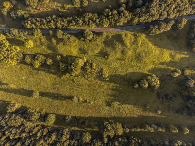
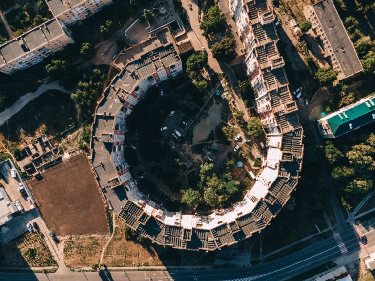
- Orthomosaic map — A geometrically corrected overhead image of the site, accurate enough to measure distances and areas directly from the file. Think of it as a photograph that behaves like a map.
- Point cloud — A dense collection of georeferenced data points representing the surface of the site in three dimensions. This is the raw spatial data — it can be imported into CAD or GIS software for analysis.
- 3D mesh model — A textured three-dimensional model of the site built from the point cloud. This is the most visually accessible deliverable and works well for presentations, client reviews, or documentation that non-technical stakeholders need to engage with.
Each of these serves a different purpose, and a full mapping session typically produces all three from the same flight data.
When 3D Mapping Justifies the Cost
Photogrammetry costs more than standard aerial photography — more flight time, more processing time, and specialized software in the workflow. That cost makes sense when the deliverable needs to carry more weight than an image. Here are the use cases where mapping earns its price in Saskatchewan:
- Construction progress documentation — Regular mapping sessions create a time-stamped, measurable record of site progress. Cut and fill volumes, grading changes, and stage completion can all be verified against the model.
- Real estate development — Pre-development surveys establish baseline topography. Developers and their engineers use orthomosaic maps and point clouds to inform site planning, drainage design, and building placement before a shovel hits the ground.
- Agricultural field mapping — Orthomosaic maps of crop fields at resolution high enough to identify problem areas, drainage issues, or uneven application. Even standard RGB mapping produces actionable field data.
- Infrastructure inspection — 3D models of structures like grain bins, communication towers, retention ponds, or roadways allow for detailed inspection without scaffolding or ground access.
If the client needs a deliverable they can measure, model, revisit, or compare — mapping is the right tool. If they need images for marketing or documentation purposes, standard aerial photography is faster and more cost-effective.
The Software Behind the Output
Three platforms handle the majority of professional photogrammetry processing:
- DroneDeploy — Cloud-based platform with strong integration for field teams. Good for clients who need shareable online maps and straightforward progress reporting.
- Pix4D — Industry standard for precision surveying and engineering applications. Preferred when deliverables need to integrate with CAD or GIS workflows.
- WebODM — Open-source option built on the OpenDroneMap engine. Capable of producing professional-grade outputs including point clouds, meshes, and orthomosaics.
Turnaround, Deliverable Format, and Pricing
Processing time depends on the size of the site and the resolution of the flight. A standard commercial site of a few acres at moderate resolution typically processes within 24 to 48 hours after the flight. Larger sites or higher-resolution missions take longer.
Deliverables are typically provided as downloadable files — GeoTIFF for orthomosaics, LAS or LAZ for point clouds, and OBJ or FBX for mesh models. If the client does not have software to open these formats, a shareable web viewer can be provided instead.
A standard aerial photography session — a real estate shoot, a site overview, a promotional fly-through — typically runs in the range of $300 to $600 depending on scope and location. A photogrammetry and 3D mapping session starts higher — typically in the range of $800 to $2,000 for a commercial site, depending on acreage, required resolution, deliverable complexity, and whether repeat sessions are part of the agreement. Larger agricultural or infrastructure projects are quoted on scope.
The cost difference reflects the additional flight planning, longer processing time, and specialized software involved. The clearest way to evaluate whether the cost makes sense is to ask what the alternative would cost: a ground survey crew, a manual inspection, or simply proceeding without the data at all.
Sinfull Studios operates under Transport Canada Advanced certification, which covers the regulatory requirements for commercial mapping operations. For site inquiries or project scoping in Saskatchewan, reach out directly.
Explore the Drone and Aerial Imaging services at Sinfull Studios for more.
Related reading from Sinfull Studios
- Drone Cinematography in Regina: Aerial Filming That Serves the Story
- Drone Coverage for Regina Events: What Actually Works and What Is Not Worth the Cost
- When Drone 3D Scanning Is Worth It for Regina Contractors and Property Teams
- Drone and Aerial Imaging in Regina
Based in Regina, Saskatchewan. Explore Drone and Aerial Imaging or request a quote from Sinfull Studios.