Commercial drone services in Regina and across southern Saskatchewan cover a wider range of business applications than most owners realize — from crop-stress mapping and construction-progress monitoring to insurance inspections and marketing video. At Sinfull Studios, Robert Slinn operates Transport Canada RPAS-certified commercial drone services, meaning every flight meets federal registration and pilot-certification requirements before the aircraft leaves the ground. If your business generates value from accurate site data, compelling aerial imagery, or faster inspection turnaround, there is likely a drone deliverable that fits.
What Does “Commercial Drone Work” Actually Include?
Commercial drone operations span four broad categories: aerial imaging and video, mapping and surveying, inspections, and precision agriculture. Each produces a different class of deliverable. Aerial imaging produces 4K video clips and high-resolution stills useful for marketing, listing photos, and progress documentation. Mapping and surveying produce orthomosaics, point clouds, and volumetric calculations that feed into engineering software. Inspections use nadiral and oblique stills — and thermal or radiometric imagery where the job calls for it — to document structure condition without putting workers at elevation. Agriculture missions produce NDVI and multispectral index maps that flag variability across a field. The right application depends on your industry and what decision you are trying to make with the data.
How Do Transport Canada Rules Affect My Project?
Any drone over 250 grams flown commercially in Canada must be registered with Transport Canada, and the remote pilot must hold either a Basic or Advanced RPAS certificate. Basic operations permit flight in uncontrolled airspace at a safe horizontal distance from bystanders. Advanced operations — which cover flights closer to people, in controlled airspace, or over bystanders — require a more rigorous written exam, a flight review signed off by a Transport Canada-approved evaluator, and in many cases a controlled-airspace authorization through the Nav Canada system. Most commercial work in and around Regina, which sits beneath the Regina International Airport control zone, requires Advanced certification and prior airspace authorization. Working with a certified operator is not just good practice — it is the legal baseline. Sinfull Studios holds the Advanced certification and handles airspace coordination as part of every project.
What Can Drone Mapping Deliver for Construction and Surveying?
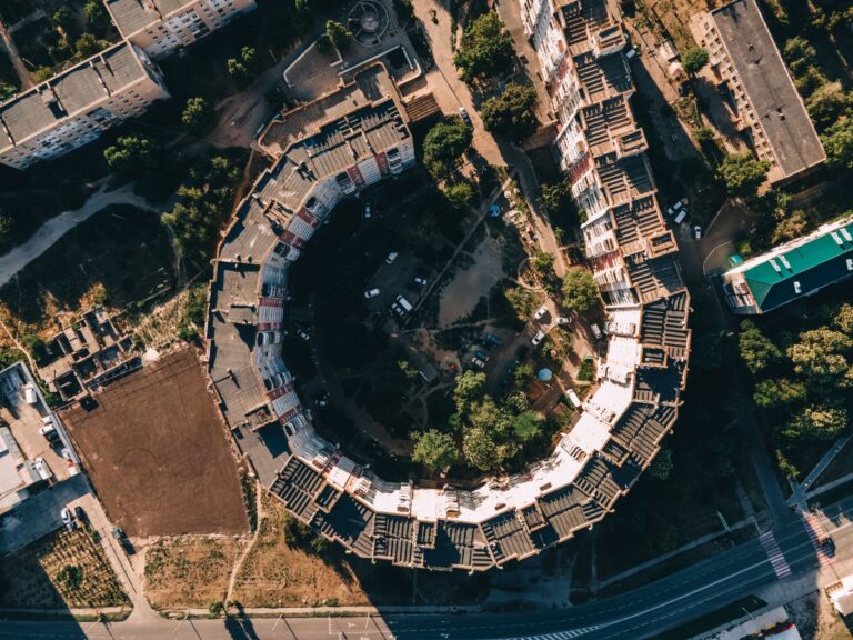
For construction projects — whether a commercial build on the outskirts of Regina or infrastructure work in a southern Saskatchewan municipality — repeated drone flights produce georeferenced orthomosaics and dense point clouds that show grade, earthwork progress, and site layout at a level of detail impractical to capture by walking the site. Volumetric calculations from point-cloud data let project managers track stockpile quantities and cut-fill balances without sending a survey crew onto active ground. The outputs integrate directly with common site-management and CAD platforms. A typical construction-monitoring program involves scheduled flights tied to key milestones, with deliverables turned around within one to two business days of each flight.
What Does Drone Work Look Like for Prairie Agriculture?
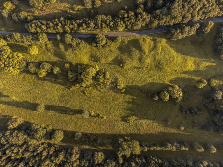
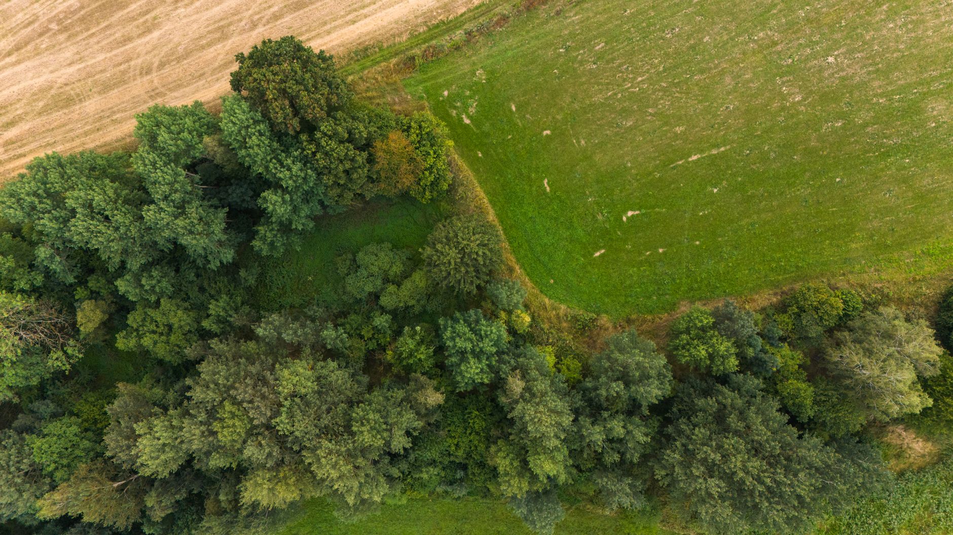
Southern Saskatchewan’s canola, wheat, and pulse fields are well-suited to drone-based scouting. A multispectral flight over a problem field generates NDVI and related vegetation-index maps that show exactly where stand emergence is weak, where drainage stress is concentrated, or where pest or disease pressure is starting to show — information that lets an agronomist or producer target scouting and input decisions rather than treating the whole quarter section. Thermal passes can also detect wet spots and drainage issues invisible from the road. Turnaround from flight to processed map is typically one to two days, well within the window for an actionable in-season response. Flights are conducted in compliance with Transport Canada RPAS rules and do not require any action on the producer’s part beyond a brief site briefing.
Which Inspection Jobs Are a Good Fit for a Drone?
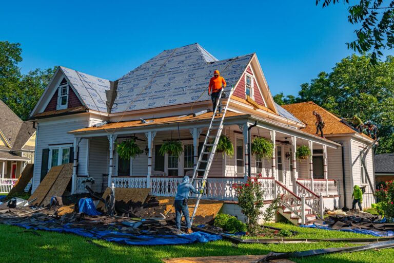
Drones reduce access costs and eliminate some fall-protection requirements for jobs where the primary need is visual or thermal documentation. Common inspection applications include:
- Commercial roof condition assessments — including membrane inspection and moisture mapping with thermal sensors
- Building envelope and cladding surveys on mid-rise and industrial structures
- Telecommunications tower and utility-line documentation (where airspace and proximity rules permit)
- Grain elevator and bin exterior inspection prior to seasonal loading
- Insurance claim documentation after hail, wind, or fire events
- Solar array thermal scans to identify underperforming panels
The deliverable is typically a structured photo set or annotated report, depending on what the insurer, engineer, or property manager needs. Thermal and radiometric data are reported as calibrated outputs, not raw files, so the findings are immediately usable.
How Do Realtors and Marketers Use Commercial Drone Footage?
Commercial real estate listings, acreage sales, and industrial property marketing benefit from aerial perspective in ways ground photography cannot replicate. A 4K aerial walkthrough that shows a property’s footprint, lot context, and surrounding access — combined with still images for the listing — sets a commercial property apart in a Regina or Saskatchewan market where most listings rely on interior-only photography. Development sites, agricultural land, and mixed-use properties are particularly well served. Sinfull Studios shoots to a brief, so the footage is cut to match your listing platform’s format and length requirements rather than delivered as raw clips that need editing.
How Do I Choose a Commercial Drone Operator?
When evaluating any drone contractor for commercial work in Saskatchewan, confirm the following before signing anything:
- Transport Canada RPAS Advanced certificate (required for most commercial sites near people or in controlled airspace)
- Drone registration number on file with Transport Canada
- Liability insurance specific to commercial RPAS operations
- Demonstrated experience with your deliverable type — orthomosaics, NDVI, thermal, or video each require different sensors and processing workflows
- Airspace authorization practice — can they obtain Nav Canada RPAS authorization for your site if it falls in controlled airspace?
- Clear data-delivery format — georeferenced files, processed reports, or raw media depending on your workflow
A credible operator will walk you through their compliance posture before discussing price. If the conversation starts with deliverables and skips regulations entirely, that is worth noting.
What Should a Business Expect to Invest?
Commercial drone pricing in Saskatchewan varies with flight time, processing complexity, sensor type, and deliverable format. A straightforward marketing video shoot for a commercial property is a different scope than a multi-flight construction-monitoring program or a multispectral agriculture mission requiring processed index maps. Inspection work involving thermal sensors and annotated reporting carries a different cost structure than a basic visual roof survey. The honest answer is that projects are quoted based on site size, flight duration, processing requirements, and travel — which is why a brief phone or email conversation before requesting a formal quote saves both sides time. Contact Sinfull Studios at 306-807-9848 or through the website to describe your site and what you need the data to do, and you will get a straightforward, itemized quote rather than a price pulled from a rate card.
Explore Drone and Aerial Imaging in Regina at Sinfull Studios for more.
Related reading from Sinfull Studios
- Agriculture Drone Services in Saskatchewan: Crop Scouting, Mapping, and More
- Construction Drone Services in Regina: Progress Monitoring and Site Documentation
- Drone Mapping and Surveying in Saskatchewan: Orthomosaics, Volumetrics, and Site Plans
- Drone and Aerial Imaging in Regina
Transport Canada certified commercial drone work in Regina and southern Saskatchewan. Explore Drone and Aerial Imaging or request a quote.
Frequently Asked Questions
Do I need to do anything to comply with Transport Canada rules if I hire a drone operator in Regina?
No — compliance is the operator’s responsibility. A certified commercial operator holds a Transport Canada RPAS Advanced certificate, has their drone registered, carries liability insurance for commercial RPAS work, and obtains any required airspace authorizations (such as Nav Canada approval for flights in the Regina International Airport control zone) before flying. Your role is to provide site access and a brief on any on-site hazards. Ask your operator for proof of certification and registration before the job starts.
What is the difference between a drone orthomosaic and a point cloud, and which does my project need?
An orthomosaic is a georeferenced, stitched aerial image — think of a highly accurate overhead map of your site that you can measure from and overlay on CAD drawings. A point cloud is a three-dimensional data set generated from overlapping images, used to calculate elevations, volumes, and surface models. Construction and earthworks projects typically need both: the orthomosaic for progress documentation and site layout, the point cloud for volumetrics and grade verification. Mapping and surveying projects may need only one depending on how the data feeds into your engineering workflow.
How far in advance do I need to book a commercial drone flight in Regina?
For most commercial jobs, two to five business days notice is sufficient — enough time to file airspace authorization with Nav Canada if the site falls in controlled airspace, confirm site conditions, and schedule around weather. Larger programs (multi-flight construction monitoring, agricultural mapping across multiple quarter sections) benefit from a planning conversation one to two weeks out so flights can be tied to project milestones or agronomic timing. Urgent insurance-claim documentation can sometimes be accommodated faster — call 306-807-9848 to discuss timeline.