Sinfull Studios provides construction drone services in Regina and across southern Saskatchewan, delivering progress monitoring, site documentation, stockpile volumetrics, and marketing flyovers for general contractors, developers, and project owners. As a Transport Canada RPAS-certified operator, I capture the aerial data your project needs — on a schedule that works for your site — so you always have a current, accurate record of what’s been built and what’s next.
What Can a Drone Actually Do on a Construction Site?
A drone-equipped site visit produces deliverables that ground-level photography simply cannot match. Depending on your project’s needs, a single flight session can generate high-resolution progress photos, 4K video walkthroughs, orthomosaic maps (geo-referenced overhead imagery stitched into a single accurate image), point clouds for 3D site modeling, and stockpile volumetric measurements. For larger developments — subdivisions, commercial builds, or industrial sites — these outputs give owners and stakeholders a reliable picture of site conditions without requiring a site visit.
Progress Monitoring: Weekly, Biweekly, or Monthly
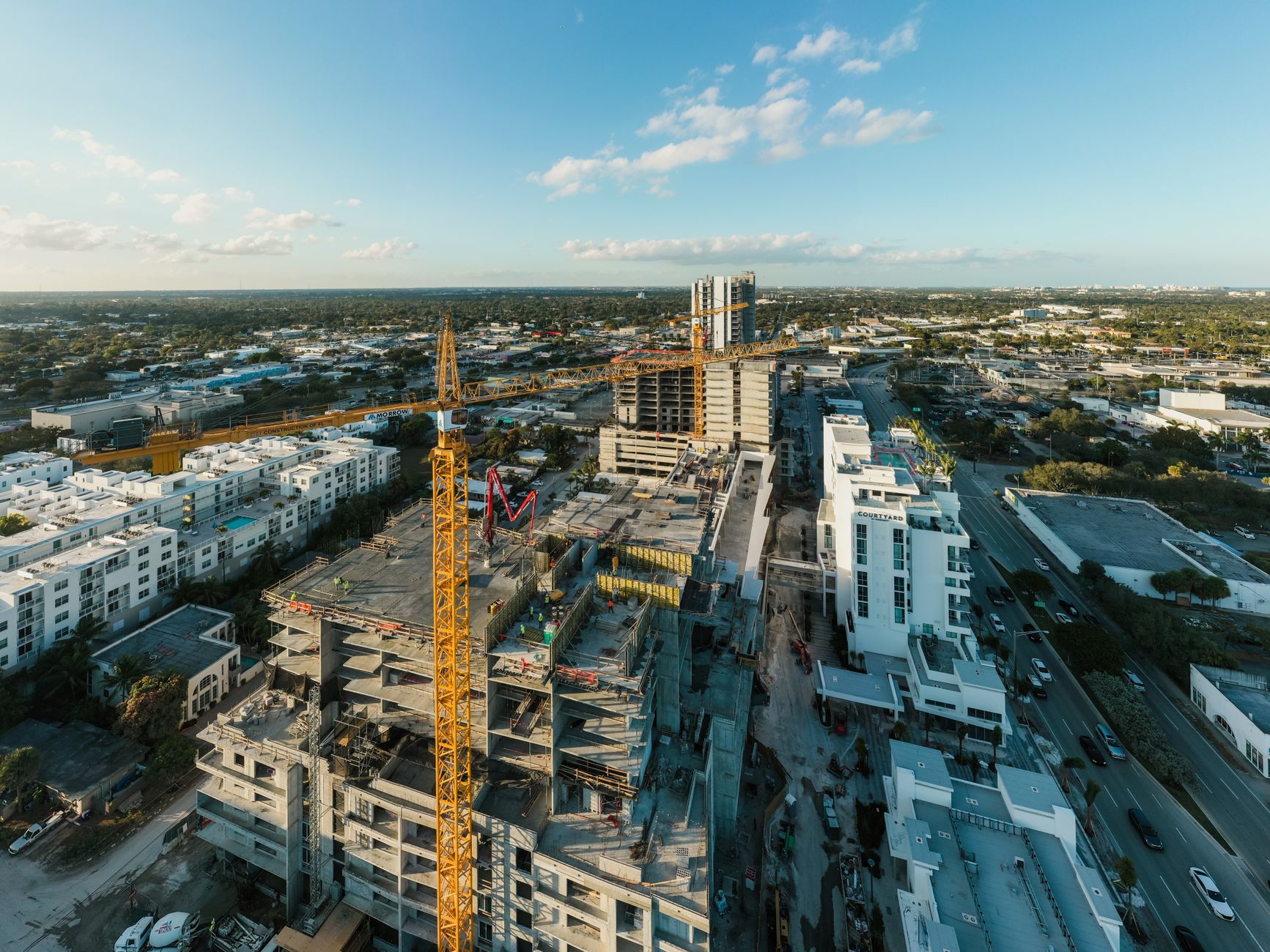
Repeat-flight programs are the most common engagement for construction clients. I work with GCs and developers to set a cadence — weekly during active framing, biweekly during excavation and civil work, or monthly for longer-horizon projects — and deliver consistent imagery from the same camera positions each time. This creates a visual timeline you can share with lenders, stakeholders, or municipal contacts. It also serves as a dispute-resolution record if questions arise about sequencing, site conditions, or when work was completed.
Stockpile Volumetrics and Earthworks Tracking
For earthmoving contractors and developers with significant grading or fill work, drone-derived volumetric measurements offer a fast, safe alternative to manual survey. Photogrammetric processing of overlapping aerial images produces a point cloud and surface model from which stockpile volumes can be calculated. This is useful for tracking material inventory, reconciling truck counts, and documenting cut-and-fill progress against the grading plan. The accuracy achievable depends on site conditions and ground control, and I’ll be upfront with you about realistic expectations before any engagement.
As-Built Mapping for Site Records
As construction progresses, an orthomosaic map captured at key milestones — foundation complete, utilities roughed in, site graded — gives you a geo-referenced aerial record of what was built and where. This can support as-built documentation packages, help identify discrepancies between design and construction, and provide context for future phases. On larger Saskatchewan projects involving multiple phases over several years, this kind of sequential mapping builds a documented site history that’s genuinely useful.
Marketing Flyovers for Developers and Realtors
A completed or near-complete development deserves to be shown at its best. Aerial video and stills captured during favourable light — early morning or evening — present the project, its surroundings, and its relationship to Regina’s broader context in a way ground-level imagery cannot. These assets are used in investor decks, listing packages, social content, and project websites. I can coordinate marketing flights alongside a documentation session to keep scheduling efficient.
Transport Canada Compliance on Your Site
Any commercial drone operation in Canada requires a registered aircraft and a Transport Canada RPAS pilot certificate — either Basic or Advanced depending on the airspace and operation type. Some construction sites fall within or near controlled airspace (near Regina International Airport, for example), which requires an authorization from Nav Canada before operations can proceed. I handle all of that: aircraft registration, certificate compliance, airspace authorization where needed, and site safety assessment. You don’t need to worry about whether the operation is legal — that’s my responsibility as the certified operator.
What to Expect: Turnaround and Deliverables
After a site visit, processed deliverables — orthomosaics, point clouds, annotated progress photos, or edited video — are typically ready within a few business days, depending on the scope and processing requirements. Files are delivered in formats your team can actually use: high-resolution imagery, geo-referenced rasters compatible with common GIS and project management tools, and video files ready for sharing or embedding. For ongoing monitoring programs, we establish a consistent delivery workflow so your team knows when to expect the update.
Getting Started with Construction Drone Work in Regina
The best starting point is a conversation about your project — size, phase, timeline, and what you actually need the imagery for. Sinfull Studios serves Regina and surrounding areas across southern Saskatchewan, and I work directly with GCs, project managers, and owners rather than through a brokered intermediary. Reach me at 306-807-9848 or through the contact form to discuss your site and what a monitoring or documentation program would look like.
Explore Drone and Aerial Imaging in Regina at Sinfull Studios for more.
Related reading from Sinfull Studios
- Drone Mapping and Surveying in Saskatchewan: Orthomosaics, Volumetrics, and Site Plans
- Thermal Drone Imaging in Regina: Roofs, Solar, and Building Envelope Inspections
- Commercial Drone Services in Regina
- Drone and Aerial Imaging in Regina
Transport Canada certified commercial drone work in Regina and southern Saskatchewan. Explore Drone and Aerial Imaging or request a quote.
Frequently Asked Questions
How often should I schedule drone flights for a construction project in Regina?
The right cadence depends on the pace of work and who needs the imagery. Active phases — framing, earthworks, utility installation — typically benefit from weekly or biweekly flights so stakeholders have a current record. Slower phases or longer-horizon projects often work well on a monthly schedule. For most GCs and developers, a recurring program locked in at the start of the project is more cost-effective and produces a more useful timeline than ad hoc flights.
Is a construction site drone operator required to be certified in Canada?
Yes. Any commercial drone operation in Canada requires the pilot to hold a Transport Canada RPAS pilot certificate and the aircraft to be registered. Operations near controlled airspace — such as sites close to Regina International Airport — also require a Nav Canada authorization before flying. Working with a certified operator like Sinfull Studios means the compliance side is handled, and you have documentation that the work was conducted legally.
What deliverables do I actually get from a construction drone flight?
That depends on what you need. A documentation flight typically produces high-resolution progress photos and 4K video. A mapping flight produces an orthomosaic — a geo-referenced, stitched overhead image — and can include a point cloud for 3D modeling or stockpile volumetric calculations. For marketing purposes, edited aerial video and selected stills are the usual output. Before any engagement, we align on exactly what you need and what format your team can work with.