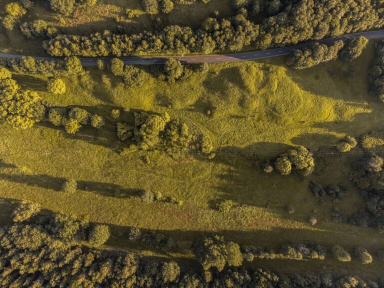
Real estate drone coverage gets talked about like a luxury add-on, but in practice it is often one of the clearest ways to make a listing feel complete. Aerials show lot shape, yard scale, alley access, garage placement, corner-lot context, and the relationship between the house and the block in a way ground photography cannot. But the same rule still applies: the drone only makes the listing look better if the property is actually ready for the angle.
In Regina, where snow, mud, wind, road work, and seasonal clutter can all affect curb appeal, good aerial prep matters. The goal is not fake perfection. The goal is to remove distractions so the property reads clearly and professionally from the air.
If your listing needs dedicated aerial work, the focused real estate drone service is the fastest way in. If you want the wider context behind the flight work and visual standards, the full drone lane covers that too.
Prep the property for the top-down reality
Aerial imagery exposes things ground photos often hide. The backyard corner with stacked debris. The bins parked awkwardly beside the garage. The half-finished landscaping. The vehicles that turn a clean driveway line into clutter. That does not mean every property needs staging-level polish, but it does mean you should prep with the aerial perspective in mind.
Before drone day, it helps to:
- move vehicles off the drive if possible
- close garage doors unless the open view is intentional
- tidy bins, hoses, loose tools, and seasonal yard clutter
- straighten outdoor furniture and obvious visual distractions
- mow, trim, or clean up where the exterior condition is part of the selling point
These are small moves, but they change how clean the lot reads from above. A good aerial photo should feel easy to understand at a glance.
Time the shoot for the season you want to sell
Not every property benefits from being photographed the second it is available. If the lot is strongest in summer, muddy thaw conditions may not be doing it any favours. If the selling point is a big yard, a deck, or proximity to green space, season and light matter more than people admit. In some cases you still shoot immediately because the listing timeline demands it. But when there is flexibility, timing can meaningfully improve the perceived value of the property.
Regina listings also deal with harsh seasonal transitions. Snow that is almost gone can look worse than snow that is fully present. Wind can turn simple yard prep into scattered clutter. Aerial planning should account for that. Good drone coverage is part scheduling decision, not just camera work.
Think about the neighborhood story
Drone visuals are not only about the house. They are about context. Nearby parks, corner-lot access, lane setup, green space, school adjacency, and the relationship to the street grid can all help a buyer understand the property faster. That is especially useful in suburban areas where lot layout and surrounding land use affect how buyers evaluate the home.
Agents and builders should think ahead about what story matters. Is it the oversized yard? The detached garage? The back-lane access? The quiet street? The proximity to open space? Once the selling angle is clear, the drone coverage can be framed to support it instead of just gathering random pretty shots.
Coordinate aerials with the rest of the listing package
Aerials should not look like they belong to a different listing than the ground photos. The strongest property packages feel cohesive. That means the condition, lighting, and overall presentation should line up. If the house interior is polished but the exterior aerials still show yard clutter and messy access, the listing starts feeling uneven.
That is one reason builders, agents, and property owners often get better results when the shoot is approached as one visual package rather than separate random assets. If you are pairing aerial work with broader listing visuals or branded promotional content, the adjacent photo and video lane can support that side too.
What a useful real estate drone set includes
For most Regina listings, useful aerial coverage is less about quantity and more about clarity. A strong set typically includes:
- a high, clean establishing view of the property
- one or two angled hero shots that show the house and lot together
- context images that help explain access, yard depth, or surroundings
- coverage that highlights any exterior feature buyers care about, like decks, garages, acreage context, or nearby open space
The goal is to help the listing communicate quickly. Buyers often scan first and study second. Aerials that clearly explain the property make that first scan work harder.
Builders and infill listings need this even more
New builds, infill homes, and lot-forward properties benefit especially well from drone coverage because buyers are often evaluating placement and context as much as finishes. Aerials help show how the structure sits on the lot, how it relates to adjacent homes, and what kind of exterior experience the buyer is actually getting.
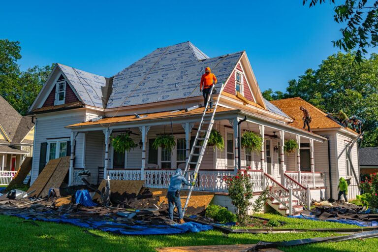
That is also where sloppy prep becomes more obvious. Construction material left in frame, poorly staged access, or unfinished site cleanup can undercut the premium feel of a listing fast.
The drone should support the sale, not distract from it
Good aerial work does not scream for attention. It builds confidence. It tells buyers the listing is complete, the presentation is thoughtful, and the people behind it respect the property enough to show it properly.
If you are preparing a Regina property for market and want drone photos that do more than tick a box, start with the real estate aerial page or reach out through contact Robert. A little prep before takeoff usually does more for the final listing than any fancy move in the air.
Related reading from Sinfull Studios
- Drone Regulations in Canada 2025: What You Actually Need to Know Before You Fly
- Drone Cinematography in Regina: Aerial Filming That Serves the Story
- Real Estate Drone Photography in Regina: Why Listings With Aerials Sell Faster
- Drone and Aerial Imaging in Regina
Based in Regina, Saskatchewan. Explore Drone and Aerial Imaging or request a quote from Sinfull Studios.